EU-funded GeoHEAT project seeks to improve success rate of deep geothermal
Energy Disrupter
The EU-funded GeoHEAT project seeks to improve the success rate of deep geothermal projects by deploying borehole radar technology for subsurface imaging.
The Georadar-aided High-resolution Exploration to Advance deep geothermal energy consumption (GeoHEAT) project, funded by the European Union under the Horizon Europe Framework Programme, seeks to create improved geothermal exploration tools and processes to mitigate the risks of deep geothermal project development.
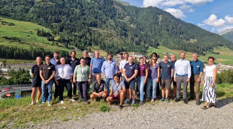
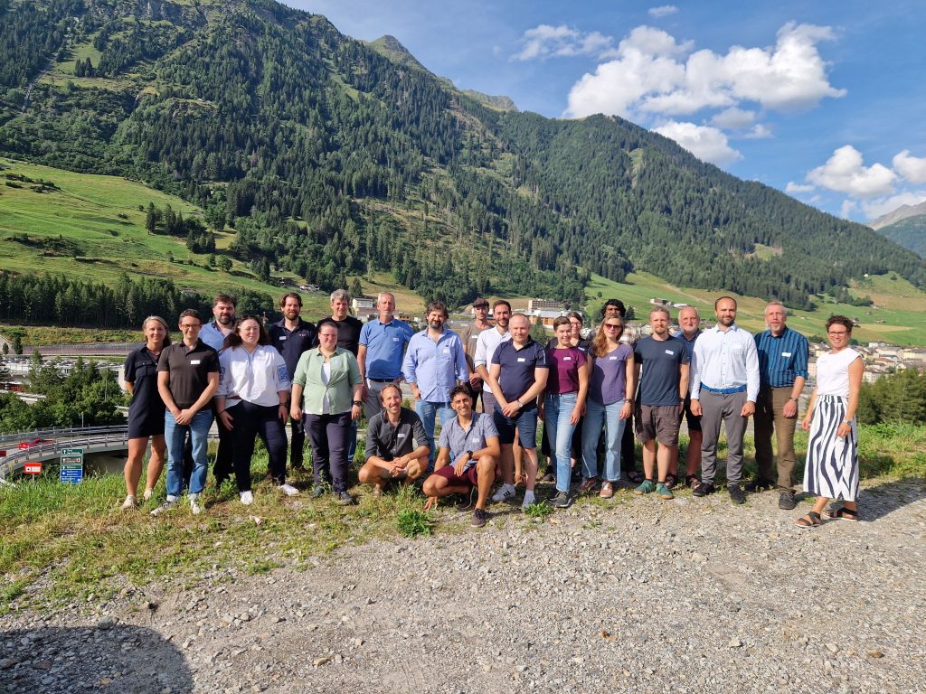
GeoHEAT was officially kicked off in June 2024 with a meeting held in Airolo, Switzerland. The project will run for 48 months and will receive EUR 4.2 million in funding from the EU, with additional funding coming from the Swiss State Secretariat for Education, Research and Innovation.
GeoHEAT will transform geothermal exploration through two key strategic shifts:
- Minimising pre-drilling exploration costs while quantifying and communicating the risks; and
- Maximising learning rates of exploration drilling while reducing the costs of characterisation.
As a first step, the high costs and shortsighted prospection are tackled with passive surface-based imaging methods and uncertainty encompassing modelling alternatives. In parallel to reducing measurement bias, this approach engages a larger population and stakeholder group in search for optimal locations for geothermal exploitation.
In the following step, GeoHEAT illuminates the subsurface to an unprecedented extent through a novel georadar probe. The georadar imaging is complemented with drilling-induced microseismicity monitoring and digital rock physics models to create a high-resolution understanding of the reservoir.
Development of the borehole radar prototype that can function at high temperatures and pressures is a core aspect of the GeoHEAT project. This tool is designed to enhance the detection and mapping of geothermal reservoirs, providing information on the geology and structures at up to 100 meters away from the borehole. No such borehole radar tool currently exists.
To maximize its impact and expediate its success, GeoHEAT consists of a complementary consortium with European leaders in the scientific, industrial, and public domain. Members of the project consortium include:
- Fraunhofer IEG
- ETH Zurcih
- University of Geneva
- GuidelineGeo
- University of Pisa
- Mignan Risk Analysis
- Seismix
- ALT
- RWTH Aachen
- TU Delft
- Bo-Ra-Tec
The GeoHEAT also proposes effective and inclusive tools for public engagement and two-way communication, as well as the introduction of advanced decision-making tools for policymakers based on probabilistic modelling and uncertainty quantification.
Source: GeoHEAT and Nachrichten

